
Zijun Wang, Yang Zhang, Dong Liu, Xiaobo Wang, Jinru Yuan, Chao Pan, Yiming Zhao, Xiaoshuang Han, Yudi Zhou, Qun Liu, Cheng Wang. Research on the development of detection satellite technology in the novel multi-beam land and ocean lidar[J]. Infrared and Laser Engineering, 2021, 50(7): 20211041
- Infrared and Laser Engineering
- Vol. 50, Issue 7, 20211041 (2021)
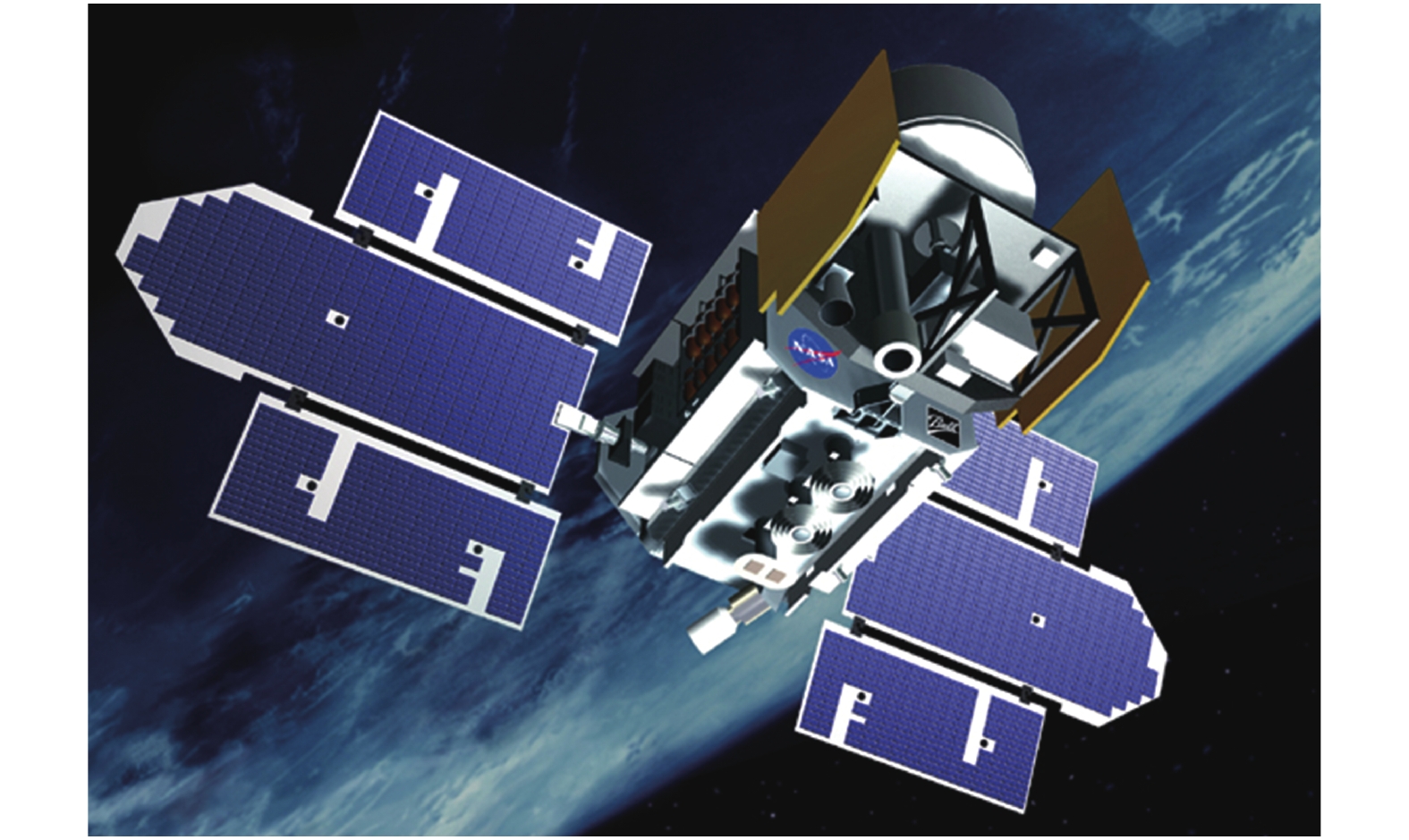
Fig. 1. ICEsat-1 satellite image
![Vertical distribution of vegetation obtained by GEDI[2-3]](/richHtml/irla/2021/50/7/20211041/img_2.jpg)
Fig. 4. Stereo mapping image of ZY-3-02 satellite. (a) Corrected image; (b) Stereo image; (c) Corrected image with multi-spectrum sensors; (d) Digital surface model of image[16-17]
Fig. 5. Gaofen-7 stereo mapping image. (a) Color fusion orthophoto; (b) Stereo image
Fig. 6. Technology route of new type spaceborne high power laser[19]
Fig. 7. Technology route of simulation and photon counting combined detection
Fig. 8. Technical route of intertidal zone extraction
Fig. 9. Technical route of data processing of ocean optical profile by laser remote sensing
Fig. 10. Technical route of land forest vegetation data processing based on laser remote sensing
| |||||||||||||||||||||||||||||||||||||||||||||||||
Table 1. Comparison of basic surveying and mapping, detailed surveying and mapping and accurate surveying and mapping


Set citation alerts for the article
Please enter your email address

© Copyright 2018-2021 | Chinese Laser Press. All Rights Reserved 沪ICP备15018463号-20