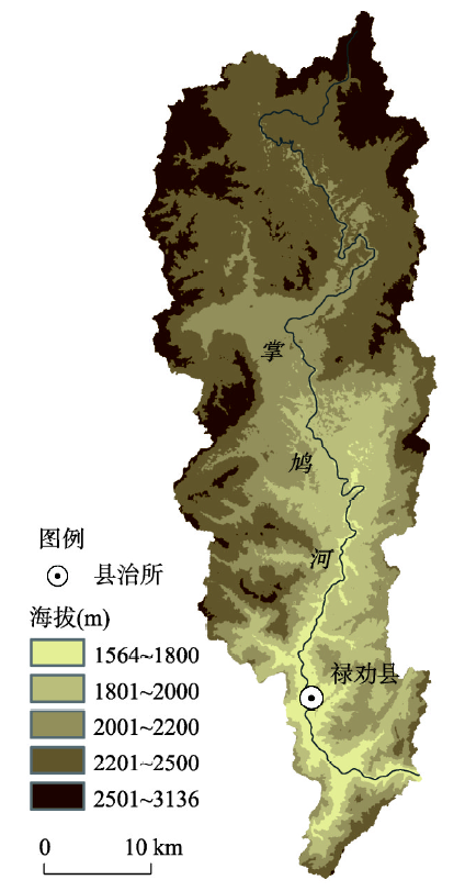

Renlong HUO, Yuda YANG, Zhimin MAN. Gridded reconstruction of spatiotemporal evolution of cropland in the Zhangjiu River Basin in Yunnan Province from 1700 to 1978 [J]. Acta Geographica Sinica, 2020, 75(9): 1966
- Acta Geographica Sinica
- Vol. 75, Issue 9, 1966 (2020)
Abstract


Set citation alerts for the article
Please enter your email address

© Copyright 2018-2021 | Chinese Laser Press. All Rights Reserved 沪ICP备15018463号-20