• Infrared and Laser Engineering
  • Vol. 49, Issue 11, 20200233 (2020)
Xiaoming Gao1,2, Guoyuan Li1,2,3,*, Jinquan Guo1,2, Sida Ouyang1, and Wenfeng Fan1
Author Affiliations
  • 1Land Satellite Remote Sensing Application Center, Ministry of Natural Resources, Beijing 100048, China
  • 2College of Surveying and Geographical Sciences, Liaoning Technology University, Fuxin 123000, China
  • 3Jiangsu Center for Collaborative Innovation in Geographical Information Resource Development and Application, Nanjing 210023, China
  • show less
    DOI: 10.3788/IRLA20200233 Cite this Article
    Xiaoming Gao, Guoyuan Li, Jinquan Guo, Sida Ouyang, Wenfeng Fan. Discussion on the development of laser altimetry satellite for tri-polar regions observation[J]. Infrared and Laser Engineering, 2020, 49(11): 20200233 Copy Citation Text show less
    References

    [1] 姚檀栋, Tandong Yao, 邬光剑, Guangjian Wu, 徐柏青, Baiqing Xu. Asian water tower change and its impacts. Bulletin of Chinese Academy of Sciences, 34, 1203-1209(2019).

    [2] , 21, 100-112(2010).

    [3] 唐新明, Xinmng Tang, 李国元, Guoyuan Li. The development and prospective of laser altimeter satellite. Space International, 13-18(2017).

    [4] 李国元, Guoyuan Li, 唐新明, Xinming Tang. Analysis and validation of ZY-302 satellite laser altimetry data. Acta Geodaetica et Cartographica Sinica, 46, 1939-1949(2017).

    [5] 杨帆, Fan Yang, 温家洪, Jiahong Wen. ICESat and ICESat-2 applications: progress and prospect. Chinese Journal of Polar Research, 23, 138-148(2011).

    [6] Smith Benjamin, A Fricker Helen, Holschuh Nicholas. Land ice height-retrieval algorithm for NASA's ICESat-2 photon-counting laser altimeter. Remote Sensing of Environment, 233(2019).

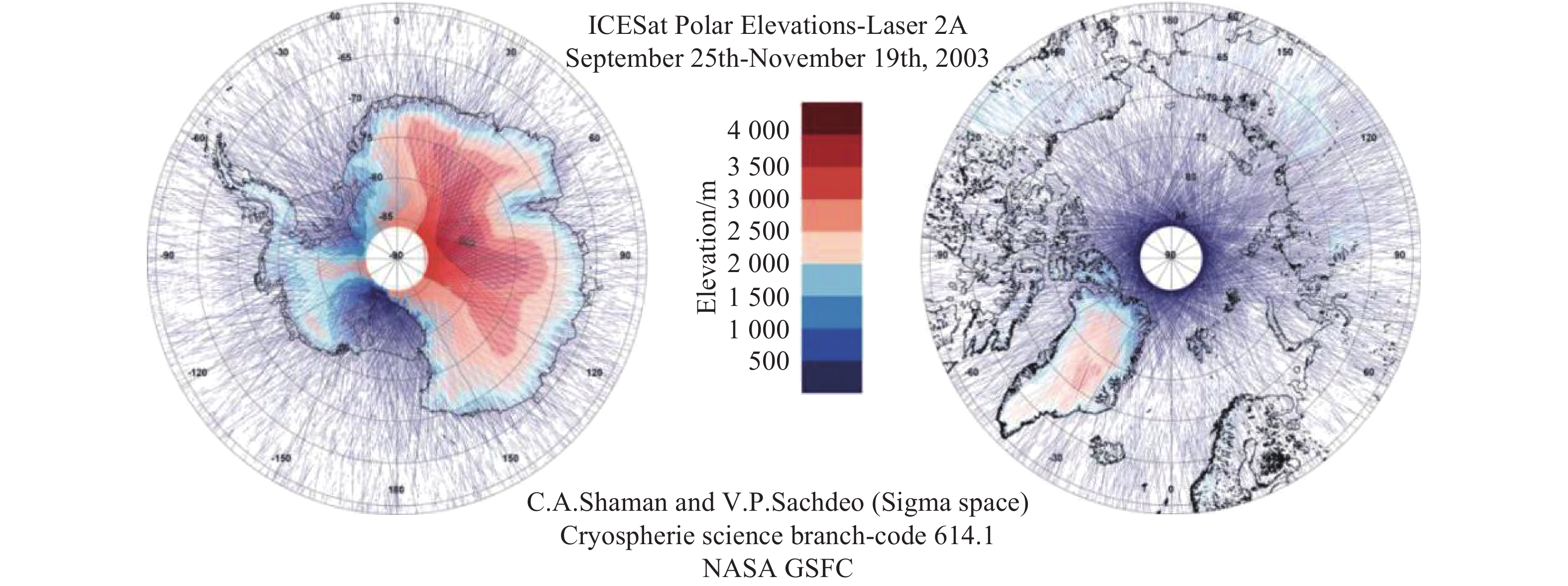
    [7] NASA: National Aeronautics Space Administration ICESat. Last visiting on April 2014[EBOL]. http:icesat.gsfc.nasa.govicesat.

    [8] K M Brunt, T A Neumann, B E Smith. Assessment of ICESat-2 ice sheet surface heights, based on comparisons over the interior of the Antarctic ice sheet. Geophysical Research Letters, 46, 13072-13078(2019).

    [9] 唐新明, Xinming Tang, 李国元, Guoyuan Li. Thoughts about land and sea satellite laser altimetry. Aerospace Shanghai, 36, 15-19(2019).

    [10] R Kwok, T Markus, N T Kurtz. Surface height and sea ice freeboard of the Arctic Ocean from Icesat-2: characteristics and early results. Geophysical Research Oceans, 124, 6942-6959(2019).

    [11] R Kwok, S Kacimi, M A Webster. Arctic snow depth and sea ice thickness from ICESat-2 and CryoSat-2 freeboards: a first examination. Journal of Geophysical Research: Oceans, 125(2020).

    [12] 姚檀栋, Tandong Yao, 余武生, Wusheng Yu, 邬光剑, Guangjian Wu. Glacier anomalies and relevant disaster risks the Tibetan Plateau and surroundings. China Science Bulletin, 64, 2770-2782(2019).

    [13] G Zhang, W Chen, H Xie. Tibetan Plateau's lake level and volume changes from NASA's ICESat/ICESat-2 and landsat missions. Geophysical Research Letters, 46, 13107-13118(2019).

    [14] 王天河, Tianhe Wang, 孙梦仙, Mengxian Sun, 黄建平, Jianping Huang. Research review on dust and pollution using spaceborne lidar in China. Trans Atmos Sci, 43, 144-158(2020).

    CLP Journals

    [1] Liuru Hu, Xinming Tang, Zhi Zhang, Guoyuan Li, Jiyi Chen, Huaiqi Tian, Shuaitai Zhang, Junping Qiao, Xin Li. Accuracy optimization and assessment of GF-7 satellite multi-source remote sensing data[J]. Infrared and Laser Engineering, 2022, 51(6): 20210458

    [2] Siao Zhu, Guoyuan Li, Jinquan Guo, Kun Zhang, Shuaitai Zhang, Liang Pei. Comparison and analysis of high precision DEM production and quality in typical glacier regions of domestic stereometric mapping satellites[J]. Infrared and Laser Engineering, 2023, 52(10): 20230231

    Xiaoming Gao, Guoyuan Li, Jinquan Guo, Sida Ouyang, Wenfeng Fan. Discussion on the development of laser altimetry satellite for tri-polar regions observation[J]. Infrared and Laser Engineering, 2020, 49(11): 20200233
    Download Citation