
Wenchao LIU, Jiyuan LIU, Wenhui KUANG. Spatio-temporal characteristics of soil protection efforts of the Grain for Green Project in northern Shaanxi Province[J]. Journal of Geographical Sciences, 2020, 30(3): 401
- Journal of Geographical Sciences
- Vol. 30, Issue 3, 401 (2020)
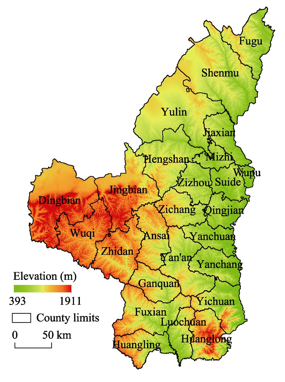
Fig. 1. Figure 1
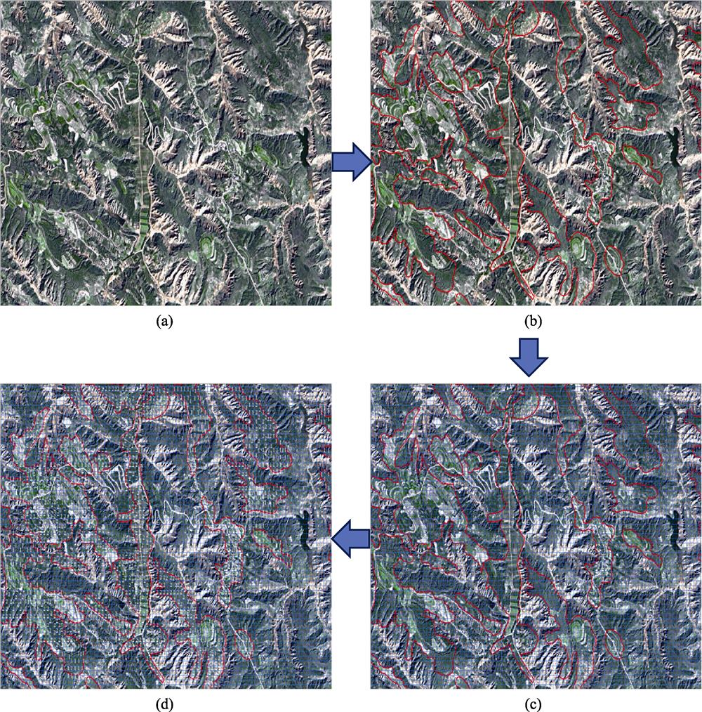
Fig. 2. Figure 2
Fig. 3. Figure 3
Fig. 4. Figure 4
Fig. 5. Figure 5
Fig. 6. Figure 6
Fig. 7. Figure 7
Fig. 8. Figure 8
Fig. 9. Figure 9
Fig. 10. Figure 10
Fig. 11. Figure 11
|
Table 1.
National soil erosion classification system
|
Table 2.
Soil erosion classification standards
|
Table 3.
RUSLE model simulation results
|
Table 4.
Hydrological station data
| |||||||||||||||||||||||||||
Table 5.
Statistical analysis of soil erosion in Yan’an and Yulin in 2000, 2010 and 2013
| |||||||||||||||||||||||||||||||||||||||||||||||||||||||
Table 6.
Soil erosion moduli change of repurposed farmland in northern Shaanxi between 2000 and 2010
| |||||||||||||||||||||||||||||||||||||||||||||||||||||||
Table 7.
Changes in soil erosion resulting from repurposing farmland in northern Shaanxi between 2010 and 2013
|
Table 8.
Changes in the soil erosion moduli of different regions of northern Shaanxi between 2000 and 2010
|
Table 9.
Changing soil erosion moduli of terraced and sloping farmland in northern Shaanxi between 2000 and 2010


Set citation alerts for the article
Please enter your email address

© Copyright 2018-2021 | Chinese Laser Press. All Rights Reserved 沪ICP备15018463号-20