The working environment of aerial cameras is complex. In the process of acquiring aerial remote sensing images, the optical system is defocused due to the influence of external environments such as ground elevation difference, temperature, and air pressure. The obtained aerial remote sensing images are not clear enough. The sharpness detection methods based on image processing complete the sharpness detection through the spectrum analysis of high-frequency information in aerial remote sensing images. Taking advantage of the fast running speed of computers, the sharpness detection of aerial remote sensing images is completed in real time. Therefore, it has become the main method of sharpness detection both in China and abroad. However, the weak characteristic areas such as oceans, grasslands, and deserts, which cover more than half of the earth, have less high-frequency information in aerial remote sensing images. When using conventional image methods for sharpness detection, the error rate is high. According to the characteristics of overlapping areas between the two images, a method of aerial camera image sharpness detection based on a digital elevation model (DEM) is proposed. This method introduces a high-precision DEM, and according to the acquired weak characteristic areas, the two images before and after the aerial remote image sensing feature overlapping areas. The aerial imaging model is modified by minimizing the re-projection error, and the sharpness is detected according to the offset of feature points in the weak characteristic overlapping areas. It makes up for the defect that the sharpness detection methods based on image processing can't detect the sharpness in weak characteristic areas and expands the applicability of the sharpness detection methods based on image processing.
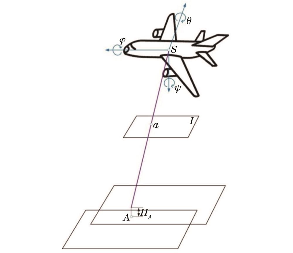
In this study, an aerial imaging model and feature point matching are used to obtain image sharpness parameters. Firstly, a DEM is used to provide the elevation data of the ground object in the aerial imaging model. The sum of the re-projection error of each pixel in the overlapping areas is regarded as the re-projection error function. By minimizing the re-projection error, relative error coefficients of various influencing factors can be obtained, so as to modify the aerial imaging model. Then, according to the characteristics of the overlapping areas between the two images, the geographical information of sceneries in the overlapping areas is regarded as public knowledge. The modified aerial imaging model is used to realize the feature point matching algorithm. In addition, according to the error between the feature matching points and the scale-invariant feature transformation (SIFT) algorithm matching points, the change in the azimuth elements in the aerial camera is calculated. Finally, the change in the principal distance is used as the sharpness detection result. Through the focal plane driving device of the aerial camera, the focal plane of the aerial camera can be quickly adjusted to an appropriate position, so as to obtain aerial remote sensing images with sufficient sharpness.
In the experiment, aerial remote sensing images of the weak characteristic areas obtained by the aerial camera are transmitted to an image processing computer, and the DEM images with the accuracy of millimeter level processed by the computer in advance are introduced. SIFT algorithm is used to extract the features of the weak characteristic images in the overlapping areas, and the change in principal distance is calculated by the offset of feature points. Finally, the corresponding mechanical structure is adjusted according to the change in the principal distance, and aerial remote sensing images with sufficient sharpness are obtained. In this experiment, we select the second dimension with insufficient sharpness and the previous dimension with enough clear feature points in multiple groups of overlapping areas to verify the sharpness detection effect of the proposed algorithm between images with different sharpness (Fig. 5 and Fig. 6). In areas with abundant ground sceneries, 15 repeated experiments are carried out using different sharpness detection algorithms. The root-mean-square error of the sharpness detection parameters of the algorithm in this paper reaches 15.8 μm (Table 1). After 15 repeated experiments in areas with scarce ground sceneries, the root-mean-square error of the sharpness detection parameters of proposed algorithm can reach 16.3 μm. The classic sharpness detection algorithms such as Robert and proposed algorithm are used for weak characteristic areas, and 15 experiments are repeated. The sharpness detection curves are shown in Fig. 7. The root-mean-square error of sharpness detection parameters in the weak feature areas calculated by proposed algorithm can reach 16.275 μm (Table 2), and it meets the actual engineering accuracy requirements of aerial cameras. It is proved that proposed algorithm has a certain engineering application value.
In order to meet the application requirements of aerial cameras in military reconnaissance and topographic mapping, it is necessary to obtain clear aerial remote sensing images in real time. The key to obtaining a clear image is precise sharpness detection technology. In order to solve the problem of aerial camera imaging sharpness detection in weak characteristic areas, the characteristics of overlapping areas between the two images are analyzed, and a method of image sharpness detection of aerial cameras based on DEM is proposed. Based on DEM data, an aerial imaging model is optimized by minimizing the re-projection error. According to the geographical information of the sceneries in the overlapping areas of the aerial remote sensing images in the front and back formats, the change in the principal distance of the latter format relative to the previous format is calculated, so as to obtain the sharpness detection results. After many experiments, the root-mean-square error of sharpness measurement in areas with few features is 16.275 μm, which is within the range of half focal depth of an aerial camera optical system (19.2 μm). The accuracy meets the actual engineering accuracy requirements of aerial cameras, and the proposed algorithm has a certain engineering application value.