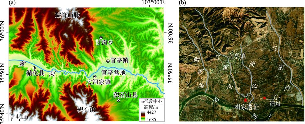

Xiaoqing RONG, Jiangli PANG, Chunchang HUANG, Yali ZHOU, Zhaoduo WANG, Yuzhu ZHANG, Yongqiang GUO, Hui ZHAO, Yuda CHUI. Prehistoric catastrophic surface processes and their impacts in the Guanting Basin, Qinghai Province [J]. Progress in Geography, 2020, 39(8): 1319
- Progress in Geography
- Vol. 39, Issue 8, 1319 (2020)
Abstract


Set citation alerts for the article
Please enter your email address

© Copyright 2018-2021 | Chinese Laser Press. All Rights Reserved 沪ICP备15018463号-20