
Zhiming Liu, Xuefei Zhang, Haipeng Kuang, Qingjun Li, Chuan Qiao. Target Location Based on Stereo Imaging of Airborne Electro-Optical Camera[J]. Acta Optica Sinica, 2019, 39(11): 1112003
- Acta Optica Sinica
- Vol. 39, Issue 11, 1112003 (2019)
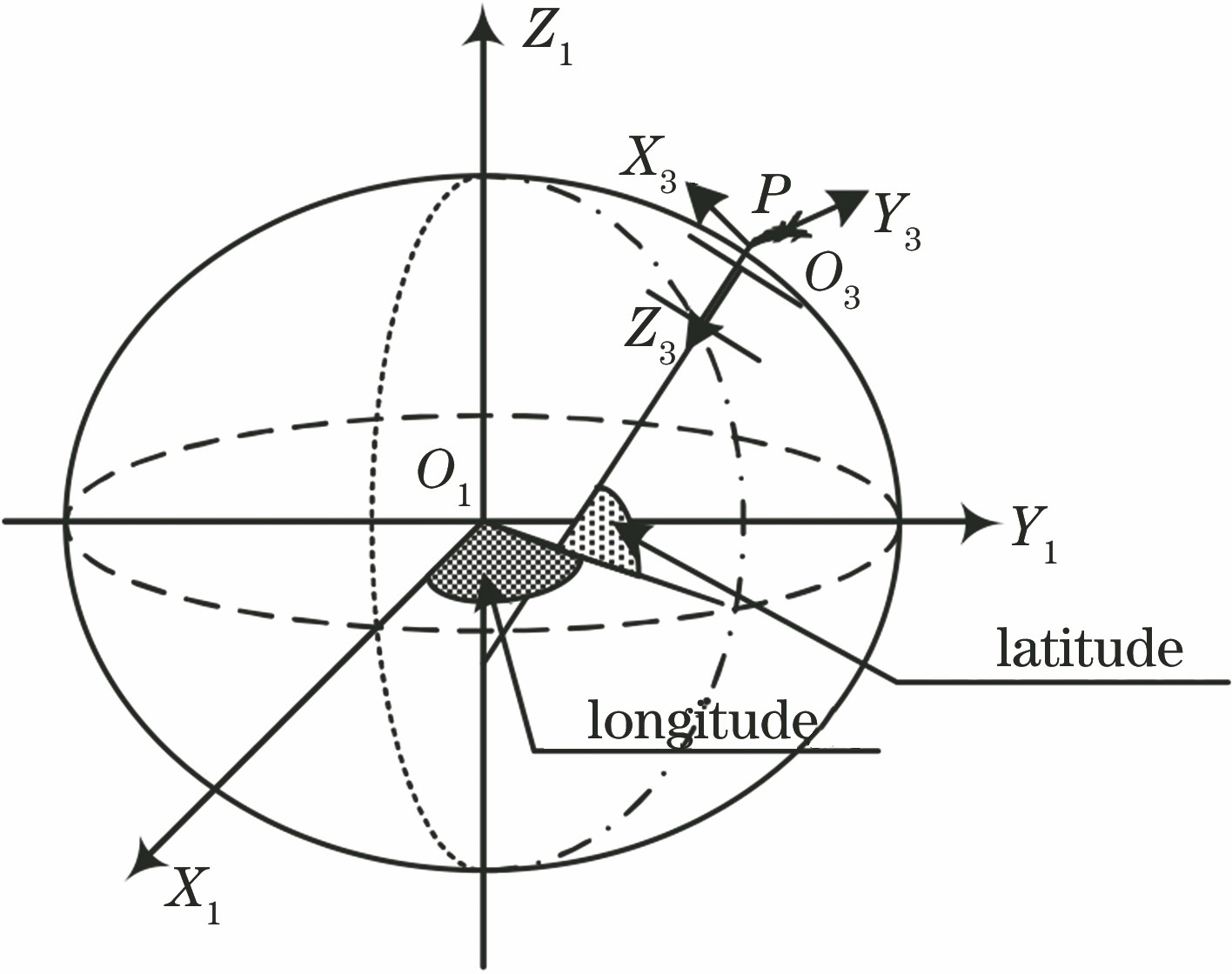
Fig. 1. Geodetic coordinate system
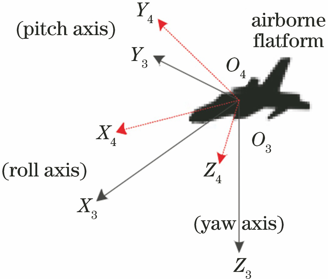
Fig. 2. Diagram of geographic coordinate system and aerial carrier coordinate system
Fig. 3. Camera coordinate system
Fig. 4. Target in aircraft flight measurement
Fig. 5. Flow chart of Kalman filter
Fig. 6. Convergence curve of geo-location error
Fig. 7. Influence of initial random error of target height on geo-location
Fig. 8. Influences of flight height and off-nadir looking angle on geo-location. (a) Geo-location error curves under different flight heights when the off-nadir looking is 45°; (b) geo-location error curves under different off-nadir looking angles when aircraft flies at a geodetic height of 10 km
Fig. 9. Influences of flight height and off-nadir angle on geo-location. (a) Geo-location error curves under different flight heights when the off-nadir angle is changed from 15° to 75°; (b) geo-location error curves under different off-nadir angles when the flight height is changed from 5500 m to 14500 m
Fig. 10. Comparison of CEP for two algorithms by simulation. (a) Simulated data obtained by Earth ellipsoid model; (b) simulated data obtained by proposed method
Fig. 11. Schematic of flight path planning of aerial carrier
Fig. 12. Eight aerial remote sensing images of same target at different points
Fig. 13. Results of geo-location in flight test. (a) T 1 point; (b) T 2 point
| |||||||||||||||||||||||||||
Table 1. Measurement error in geo-location
| ||||||||||||||||||||||||
Table 2. Positioning results of flight test

Set citation alerts for the article
Please enter your email address
© Copyright 2018-2021 | Chinese Laser Press. All Rights Reserved 沪ICP备15018463号-20