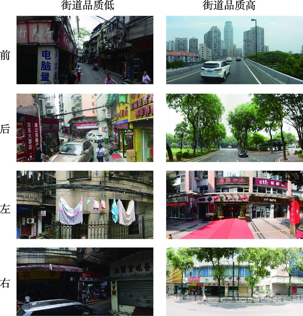

Cheng CUI, Hongyan REN, Lu ZHAO, Dafang ZHUANG. Street Space Quality Evaluation in Yuexiu District of Guangzhou City based on Multi-feature Fusion of Street View Imagery [J]. Journal of Geo-information Science, 2020, 22(6): 1330
- Journal of Geo-information Science
- Vol. 22, Issue 6, 1330 (2020)
Abstract

Set citation alerts for the article
Please enter your email address
© Copyright 2018-2021 | Chinese Laser Press. All Rights Reserved 沪ICP备15018463号-20