- Progress in Geography
- Vol. 39, Issue 4, 577 (2020)
References
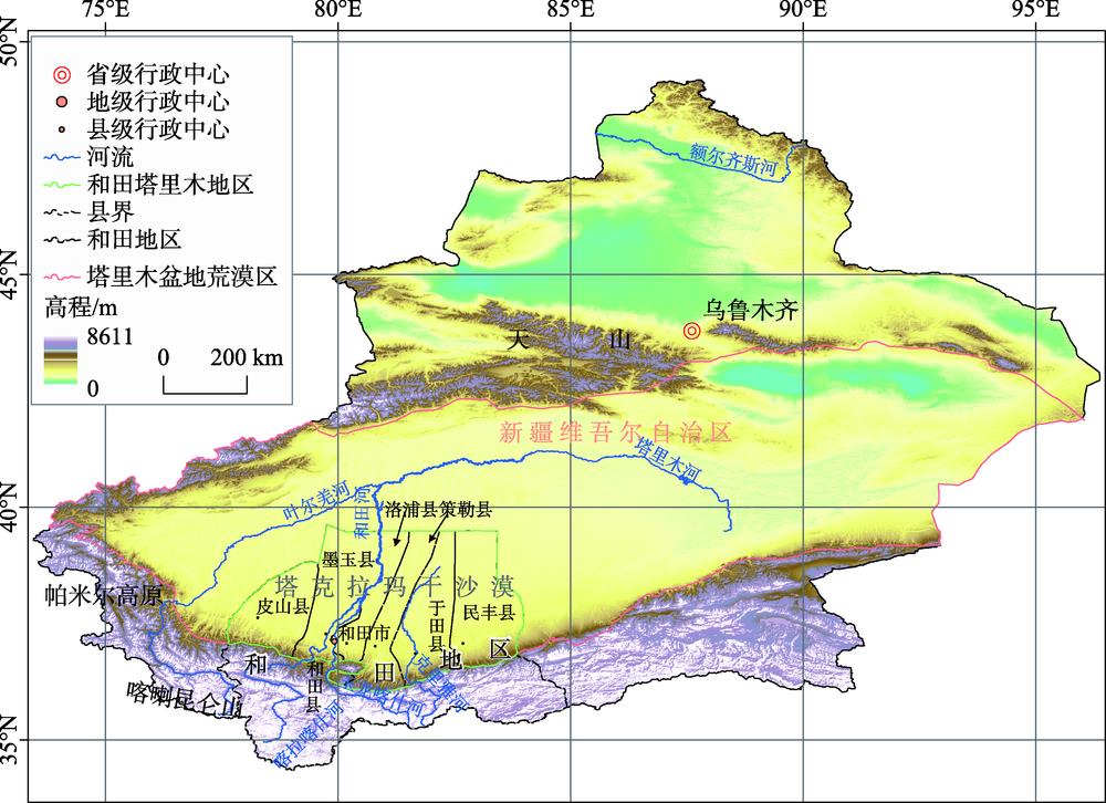

Xu HU, Yong NIE, Xia XU, Sheng JIANG, Yili ZHANG. Monitoring land-use change in Hetian Tarim Basin, China using satellite remote sensing observation between 1990 and 2016 [J]. Progress in Geography, 2020, 39(4): 577
Download Citation


Set citation alerts for the article
Please enter your email address

© Copyright 2018-2021 | Chinese Laser Press. All Rights Reserved 沪ICP备15018463号-20