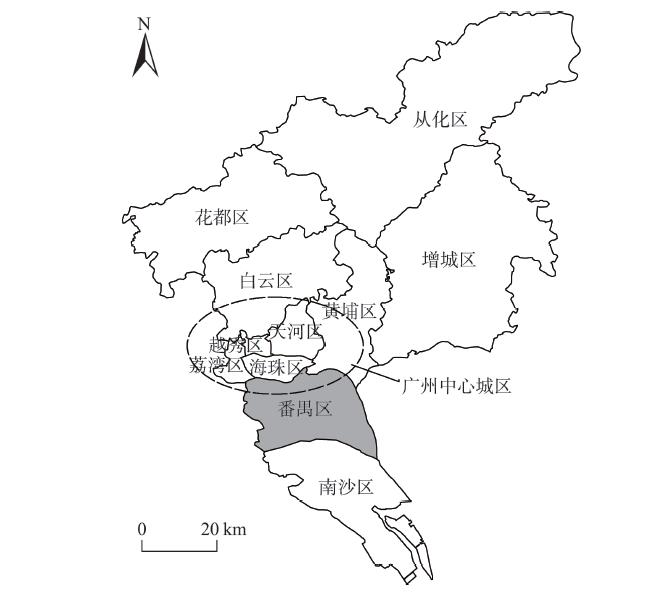

Jing CAO, Wenzhong ZHANG, Junjie LIU. Delimiting urban development boundaries in metropolitan fringe with economic and ecological perspectives:A case study of Panyu District, Guangzhou City [J]. Resources Science, 2020, 42(2): 262
- Resources Science
- Vol. 42, Issue 2, 262 (2020)
Abstract


Set citation alerts for the article
Please enter your email address

© Copyright 2018-2021 | Chinese Laser Press. All Rights Reserved 沪ICP备15018463号-20